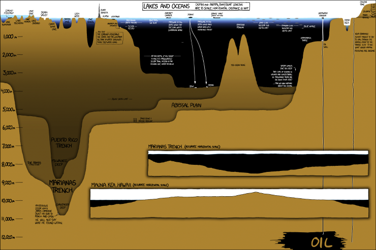
Yes, 95% of Earth’s living space is underwater. Most at depths with no light and near freezing temperatures.
Links
- XKCD.com
- Seth Dixon
- The Smithsonian Institution
- Challenger Deep
- Kola Borehole [ Deepest Hole ever drilled]
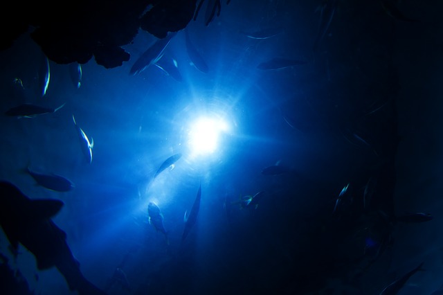
Yes, 95% of Earth’s living space is underwater. Most at depths with no light and near freezing temperatures.
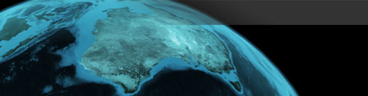
Well, if you live in Australia, then don’t worry, you might be about 1.5 metres “off”.
A team from GEOSCIENCE Australia are about to recalculate the nation’s latitude and longitude coordinates, which are currently out by more than 1.5 metres.
Australia sits on the fastest moving continental tectonic plate in the world, thus coordinates measured in the past continue changing over time.
The continent is moving north by about 7 centimetres each year, colliding with the Pacific Plate, which is moving west about 11 centimetres each year.
It will improve the accuracy of all spatial information across the nation for a myriad of services including transportation, personal navigation and surveying.
GNSS stations consist of permanent geodetic quality GPS receivers, on geologically stable marks, with eight stations within Australia known as the Australian Fiducial Network (AFN) . These stations provide the geodetic framework for the spatial data infrastructure in Australia and its territories. They also provide input for the measurement of earth processes, such as crustal dynamics and sea level rise.

Its not a long time, twenty-five years.
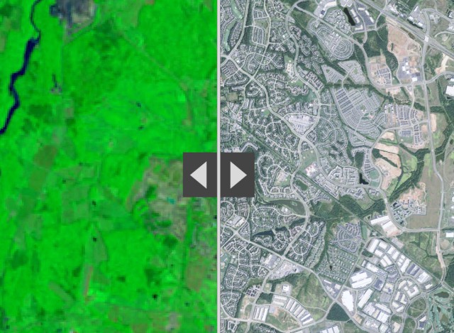
ESRI [ @Esri ] has produced some excellent comparative analyses of Human activities that are reshaping the Earth’s surface using 1990 Landsat imagery [left] and Esri’s World Imagery basemap [right]

The telegeography group do some great maps.
These two remind us of the very tenuous links that are in fact the basis of all of Australia’s modern communication and much of its commerce.
As much economic and perhaps cultural connections too.
The VOX published a great piece earlier last month relating the modern cables to the ancient trade routes.
They point out:
Cables lying on the seafloor bring the internet to the world. They transmit 99 percent of international data, make transoceanic communication possible in an instant, and serve as a loose proxy for the international trade that connects advanced economies.


Just stunning images, with a story – Change.

Watching a glacier in Columbia recede, or the systematic cultivation/de-forestation of the Amazon or even the growth of Melbourne is, at the very least fascinating.
From Time Magazine’s “Time Lapse” project:
Spacecraft and telescopes are not built by people interested in what’s going on at home. Rockets fly in one direction: up. Telescopes point in one direction: out. Of all the cosmic bodies studied in the long history of astronomy and space travel, the one that got the least attention was the one that ought to matter most to us—Earth.
Have you ever dropped a stick in a river and wondered where it might go?
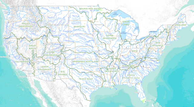
For those among us either hydrologically and/or geomorphologically challenged, the new US National Atlas presents “Streamer”, another excellent instalment in “Gov 2.0” initiatives.
The work of policy-makers, planners, geographers and geographic information experts to visualise the complex inter-relationships between drainage basins, communities and entire nation-wide catchments is another positive step forward for near-real-time evidence based planning so critical to sound, long-term planning.
This is a new interactive web map that allows you to explore America’s streams by tracing upstream to their source or downstream to where they empty. Users can learn more about stream traces and the places they pass through in brief or detailed reports.
Murray-Darling?
The weight of water behind a 500-foot dam in China may have triggered the massive magnitude 7.9 earthquake in May that killed more than 70,000 people.
