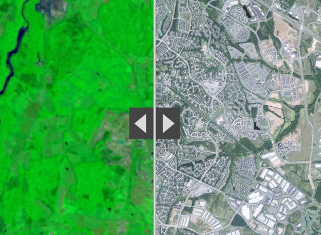
25 Years
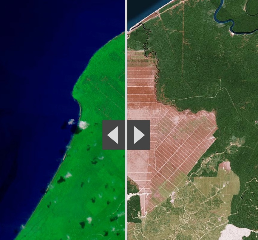
Its not a long time, twenty-five years.
ESRI [ @Esri ] has produced some excellent comparative analyses of Human activities that are reshaping the Earth’s surface using 1990 Landsat imagery [left] and Esri’s World Imagery basemap [right]